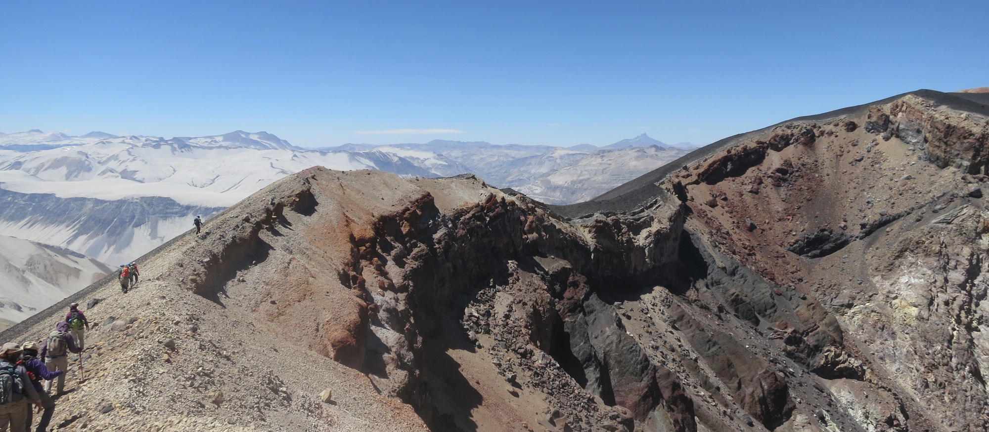
On a ledge just inside the lip of the crater, Philipp Ruprecht was furiously digging a trench. A thousand-foot drop loomed yards away, and the wind was whipping the dust off his shovel. But Ruprecht was undaunted. Here, at the top of Chile’s Quizapu, at an elevation of ten thousand feet, the scientist had found a spot topped with undisturbed layers of powdered rock that the volcano had vomited from the deep earth eighty-four years earlier. These were the samples he’d been searching for.
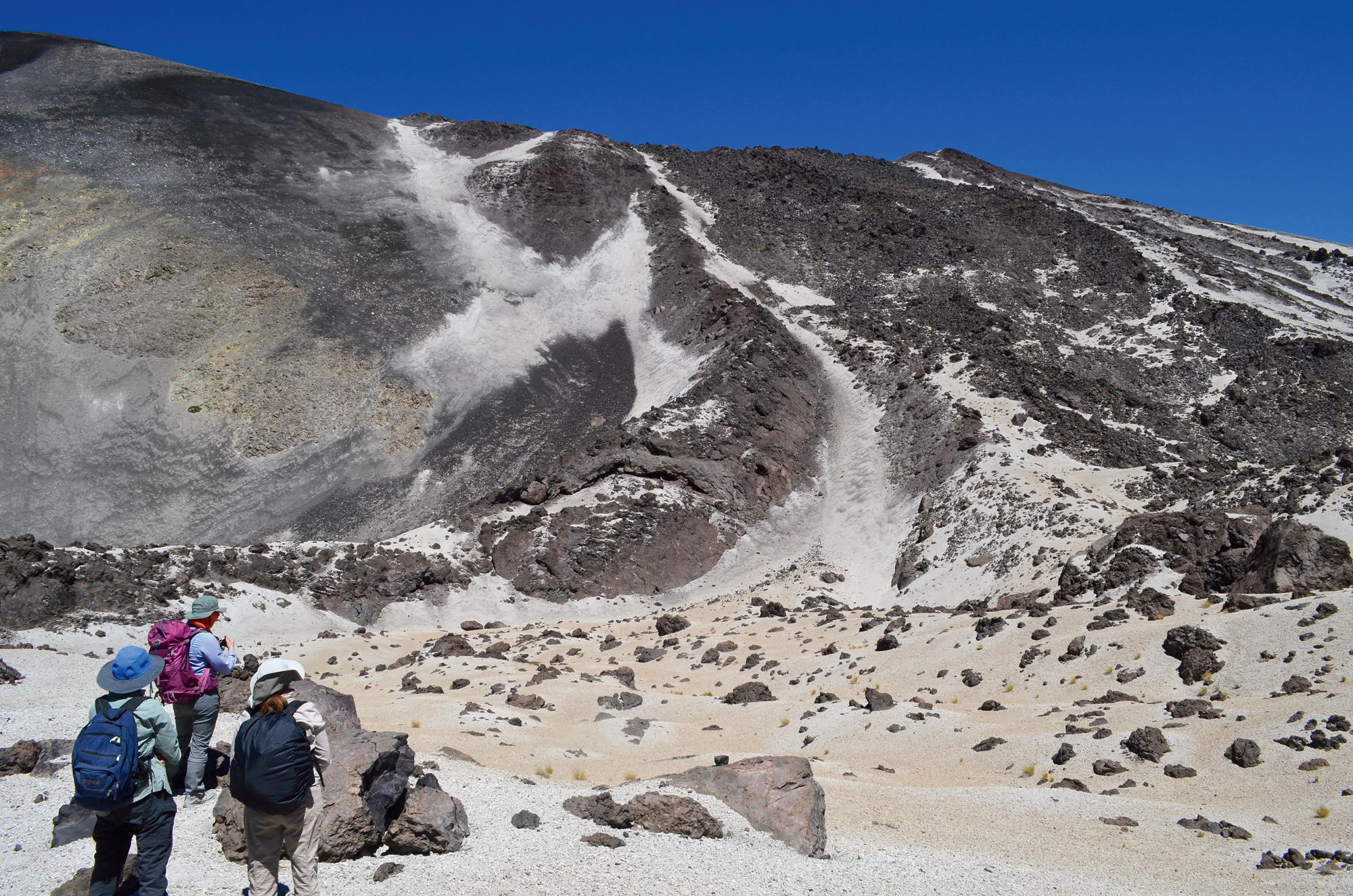
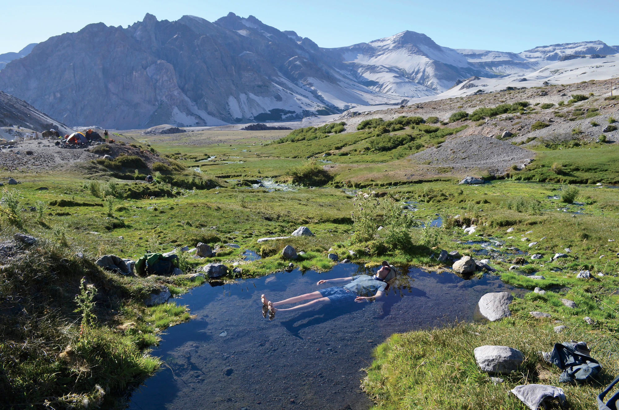
In 1932, Quizapu (kee-SAH-poo), located about 150 miles south of Santiago in the Chilean Andes, produced one of South America’s largest recorded volcanic explosions, expelling a fiery plume of ash-to-boulder-sized material that instantly turned some four hundred square miles to desert. Today, the region is a volcanic wonderland: a barren landscape of hardened lava flows, hot springs, and pumice that has been left relatively undisturbed by human activity.
Ruprecht, an adjunct associate research scientist at Columbia’s Lamont-Doherty Earth Observatory who also teaches at the University of Nevada, has been studying Quizapu for more than a decade. Earlier this year, he brought along six other American and Chilean scientists and a dozen students. The purpose of the weeklong expedition (supported by the Columbia Global Center in Santiago and the President’s Global Innovation Fund) was to better understand the forces that drive Quizapu and other volcanoes in the region.
In recent years, scientists have become more adept at monitoring volcanoes to anticipate their eruptions. But they struggle to predict the type and intensity of these events, and there are plenty of false alarms. Quizapu is an interesting case study because it has erupted in different ways at different times. In 1932 it exploded with massive force, but in 1846 it simply bled out a river of relatively slow-moving lava.
“If you’re trying to decide how many people to evacuate from around a volcano, you really want to know what that eruption is going to be like,” says Ruprecht, noting that while lava flows may destroy property and wildlife, they are rarely deadly. “If you tell people to flee because the next big one is coming, and then only a minor eruption occurs, they may not believe you the next time you warn them.”
By reconstructing Quizapu’s past eruptions, Ruprecht and his colleagues aim to more accurately interpret the volcano’s seismic vibrations. They approach their work like forensics experts at a crime scene. By inspecting the mineral composition of lava deposits, for instance, they can determine the depth from which the magma originated, and the speed with which it ascended to the earth’s surface.
“One of the things we look for is the presence of crystals that form very deep in the earth,” says Ruprecht. “This is a sign that the eruption was fueled, at least in part, by magma that came from miles underground.”
On previous trips to Quizapu, Ruprecht made a surprising discovery: hardened lava from the relatively mellow 1846 eruption is chock-full of well-preserved remnants of this deep-earth magma. This was unexpected, because volcanologists have long assumed that whenever a large volume of magma shoots up from the earth’s mantle, an explosive eruption will occur. To explain the discrepancy, Ruprecht has come up with another theory. He suspects that if rapidly ascending magma encounters cooler pockets of magma on its way to the earth’s surface, it may release certain stored gases — thus giving the lava less explosive kick when it emerges.
“A major factor in an explosive eruption is the buildup of gas pressure within the magma as it accumulates just below the earth’s surface,” Ruprecht says. “When the magma eventually bursts out as lava, it’s like soda spraying out of a shaken bottle. But if the magma has lost all its gas, it may just pour out in a benign fashion.”
To test this theory, the members of Ruprecht’s expedition gathered dozens of lava samples, which are now being analyzed to determine their composition.
“We want to see if the lava from the 1846 eruption had unusually low concentrations of gas,” says Lucy Tweed, a Columbia graduate student in earth and environmental sciences who was a member of the expedition. “This is tricky, because the new lava that shot up from deep within the earth mingled with lava that had been slowly accumulating for years right beneath the volcano. So we need to look very carefully at the crystallization signatures within the different magma flows.”
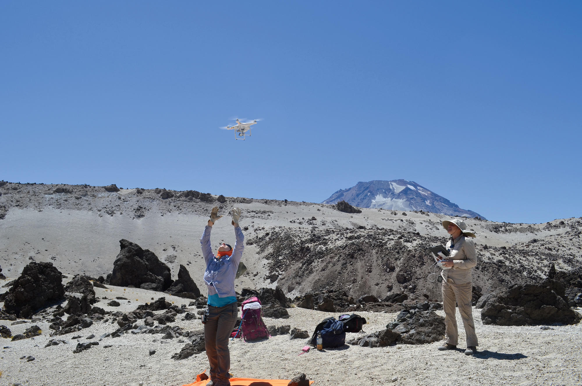
During the trip, Einat Lev, an assistant research professor at Lamont-Doherty who studies the fluid dynamics of lava, and Elise Rumpf, a postdoctoral research scientist at Lamont, flew a drone over Quizapu to create the first comprehensive photographic survey of the lava deposits around the volcano. Lev says that their maps, together with her colleagues’ geochemical analysis, will provide insights into how lava flows produced by different types of volcanic eruptions behave on land.
“Lava flows aren’t a huge concern around Quizapu, since the immediate area is sparsely populated, but there are dozens of other volcanoes in South America and in places like Japan, Hawaii, the Philippines, and Italy that threaten major towns and cities,” Lev says. “The people who live there need to know: if a big lava flow occurs, how fast will it come down? What direction is it likely to go in? Should we construct protective barriers in certain areas to redirect the flow? By piecing together how volcanoes have erupted in the past, we’re starting to be able to answer these questions.”