Robin Elizabeth Bell and Michael Studinger stood on the frozen plains of Antarctica, the coldest place on Earth, and scanned the icescape surrounding them. They saw nothing but stretches of snow-covered ground, yet about two miles beneath them, entombed in the ice sheet, lay a mystery: a landscape of jagged mountains with peaks rivaling the Alps.
Scientists are puzzled by these mountains, which seem to have formed under the continent without either the eruption of volcanoes or the colliding of tectonic plates. More than a half century after Russian geophysicists discovered the existence of the 400-mile-long Gamburtsev Subglacial Mountains, Bell and Studinger of Columbia’s Lamont-Doherty Earth Observatory hope to determine their origins.
The Columbia scientists led a seven-nation team on the first comprehensive study of the last unexplored mountain range on Earth. Doing so required getting past layers of impediments: waiting for optimal weather, traveling to this remote part of the world, and configuring high-tech equipment to read through miles of ice.
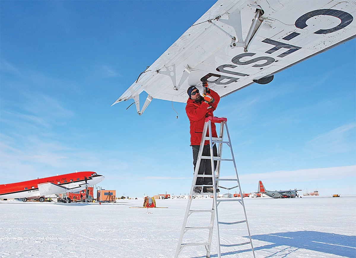
Their 10-week expedition began November 10, 2008 at McMurdo Station, a research center operated by the National Science Foundation on a volcanic island near the southeast coast of Antarctica. There, they spent a month organizing 3000 pounds of cargo and fitting aircraft with sophisticated ice-penetrating instruments.
Bell, Studinger, lead engineer Nick Frearson, and Columbia graduate student Adrienne Block then flew several hours to the South Pole for a few days to acclimatize to the thin air. It was the start of austral summer and the temperature rose to a tolerable minus 30 degrees Fahrenheit.
The crew flew to their camp at the southern end of the buried mountain range, joined by scientists from Germany, Japan, and Canada. (Another team from China, Australia, and the U.K. set up camp farther north.) Columbia was the lead institution, responsible for building the international team and coming up with the overall research strategy.
For a month, they worked, ate, and slept in heated tents without privacy or showers. Outside, they dealt with blinding 24-hour sunlight. At 12,000 feet above sea level the air is so oxygen poor that even walking requires effort. “We were breathing hard all the time,” says Bell, the Palisades Geophysical Institute Senior Research Scientist at the Lamont-Doherty Earth Observatory.
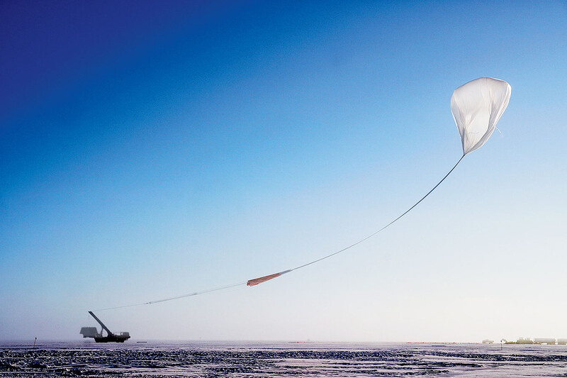
Specialists spent 20 hours a day flying overhead in twin-engine planes from the U.S. Antarctic Program and the British Antarctic Survey. Both aircraft were equipped with a radar system, a magnetometer, a gravimeter, and a laser scanner.
Although between a quarter mile and two and a half miles of ice came between the scientists and the mountains, high-tech tools allowed the geophysicists to visualize, for the first time, the mountains on a computer screen. The pointy shape and height of the mountain peaks raised more questions: Why didn’t the ice erode these mountains? Why did they form in the middle of a continent? Many scientists now doubt whether the range is really 500 million years old, as previously believed.
In all, the researchers flew more than 74,500 miles, following a scripted path, capturing data on an area the size of New York State. Radar antennas measured layers formed within the ice. Among other things, the data will help determine whether volcanic eruptions played a part in the creation of the mountains. Magnetometers and gravimeters will aid researchers in figuring out rock formation, density, and geology.
Now, the expedition scientists are back in their labs, analyzing 70 hard drives of data.
“We are going to learn how fast you freeze a continent,” says Bell. “Antarctica went from being a tree-covered continent 35 million years ago to being encased in ice, and we plan to find out how that happened.”
They also hope to learn how climate fluctuated in the past and how the ocean has risen and fallen over time. By having a better understanding of how the ice sheet grew, Bell says scientists hope to better predict how ice sheets will behave in the future, which may have larger implications relating to climate change.
“We want to understand the linkages between the climate system, the cryosphere, and the underlying geology,” Studinger said. “These are all questions that need to be addressed to predict the response of polar ice sheets to global warming and to predict sea-level rise.”